
Mapping the neighborhood. Shaping the future.
From Route 9 to the bay
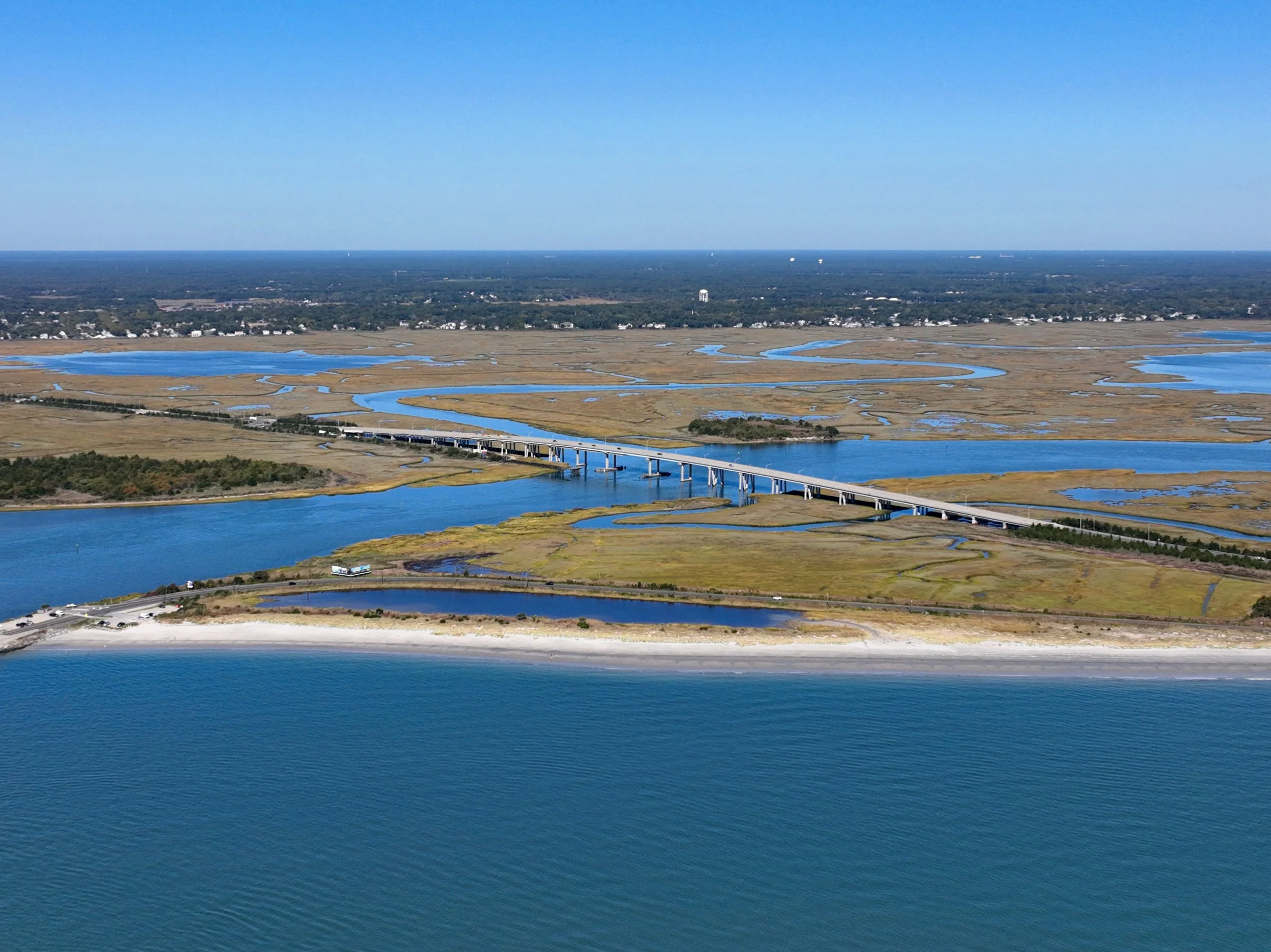
The Somers Point Northeast Neighborhood is a diverse waterfront community of residents, businesses, schools, parks, and public spaces. The neighborhood is represented by Census Tract 128.01 and covers approximately 0.98 square miles.
Its boundaries extend from Route 9 on the west to the bay on the east, and from the City of Linwood boundary on the north to Harbor Lane, Sunny Avenue, and Connecticut Avenue on the south.
What’s within the neighborhood?
The Northeast Neighborhood includes many of the places that support everyday community life:
Route 9 business district
Somers Point Shopping Center
Dawes Avenue Elementary School
Kern Field and recreational facilities
Somers Point Bike Path
Residential neighborhoods
Local businesses and community institutions
Parks, marinas, and bayfront areas
Neighborhood boundaries
North
City of Linwood boundary
East
Somers Point bayfront
West
Route 9
South
Harbor Lane, Sunny Avenue, and Connecticut Avenue
Neighborhood at a glance
Demographic figures are based on 2022 American Community Survey five-year estimates cited in the Northeast Neighborhood Action Strategy. Figures may change as updated census data becomes available.